Selective Visibility: Indigenous Presence in Contemporary Maine
View Fullscreen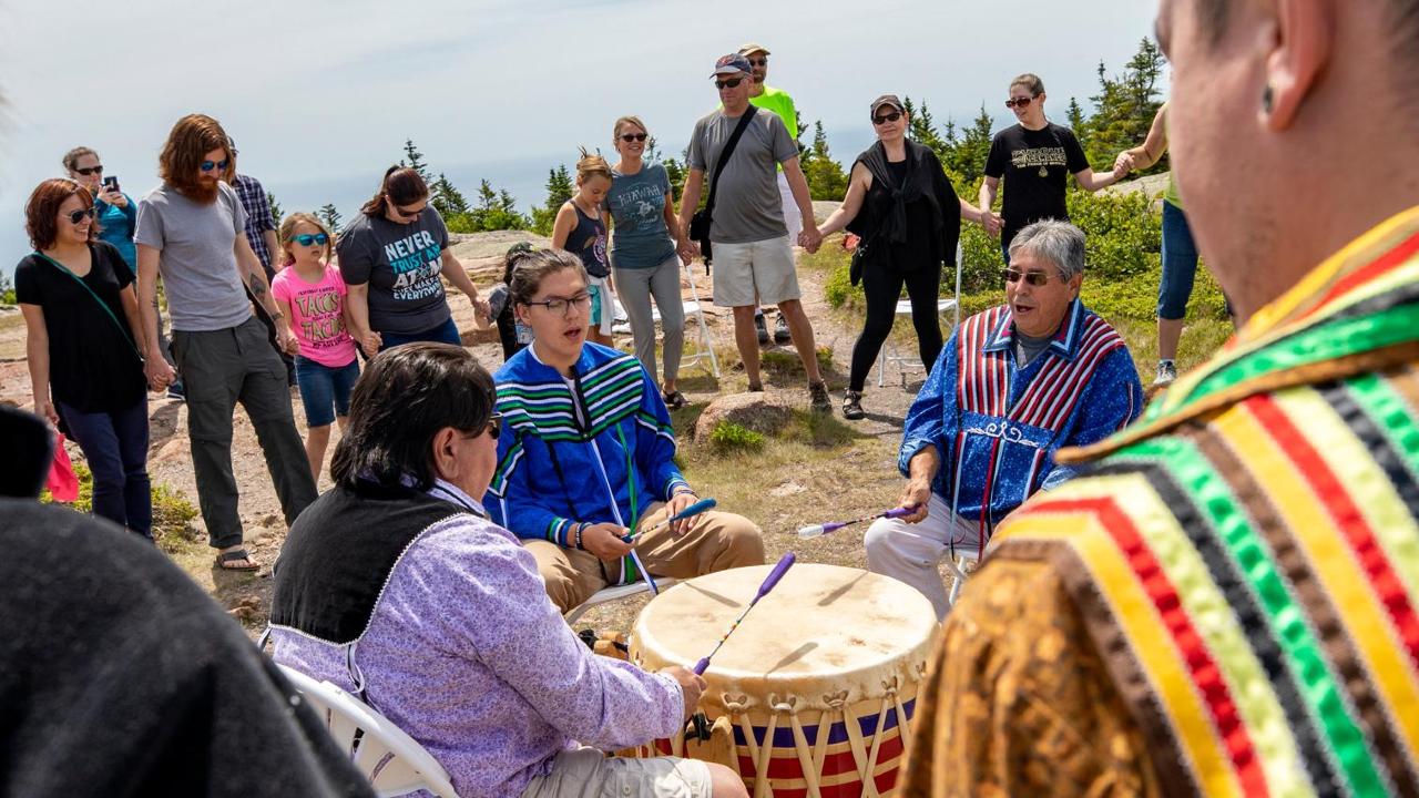
This map highlights sites of officially recognized Indigenous presence in contemporary Maine, including reservations and Indigenous place names that remain visible in everyday geography. Rather than representing the full extent of Indigenous land or history, it emphasizes how recognition is selective, revealing how most of the landscape is rendered invisible through omission on modern maps.
Source:
National Park Service. “Wabanaki Nations.” Acadia National Park (U.S. National Park Service). Last updated September 7, 2025. https://www.nps.gov/acad/learn/historyculture/wabanaki.htm.